
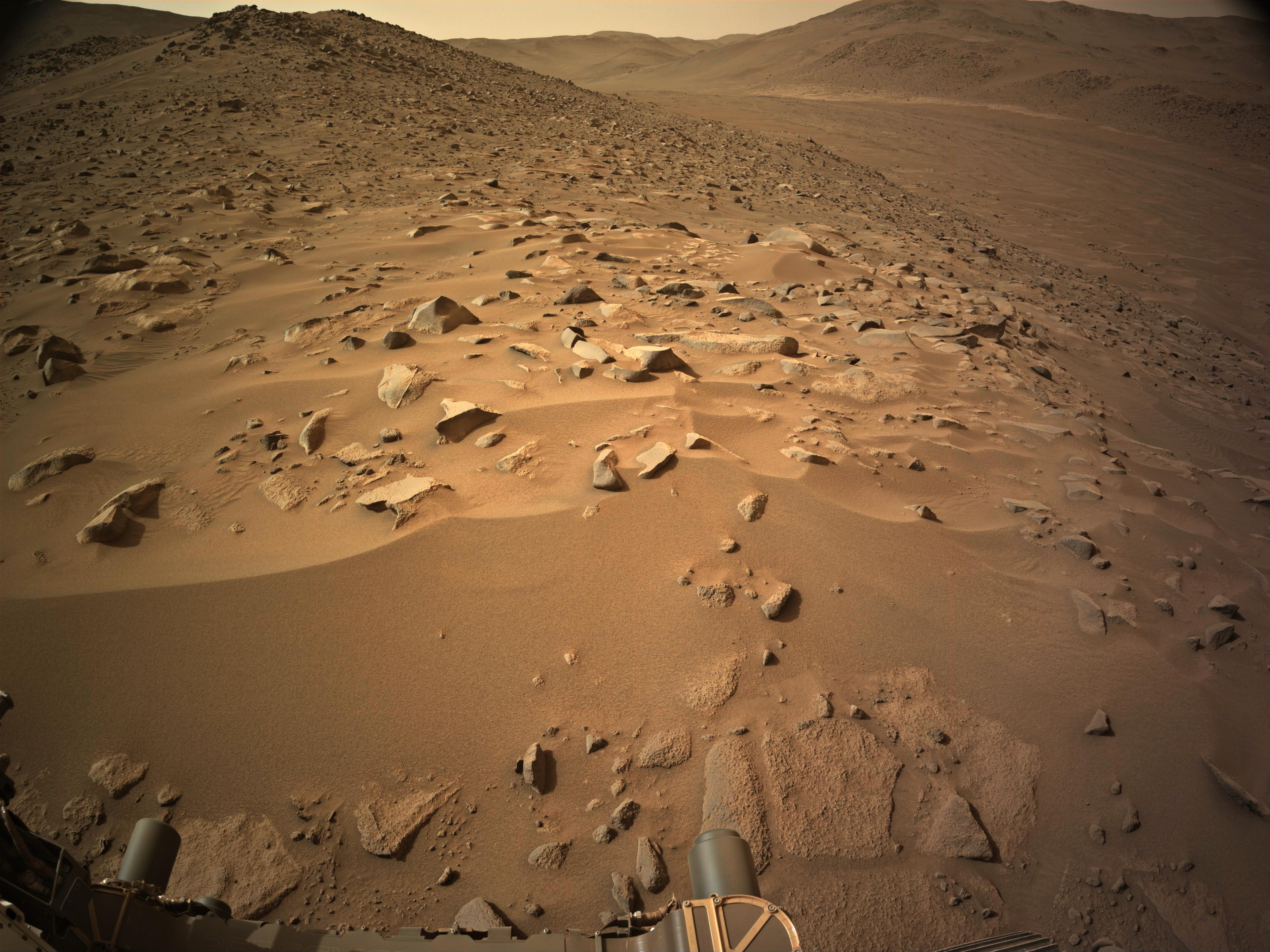
~40 meters west, still waiting for the official data. The distant light toned patch at the bottom of the valley on the opposite bank of Neretva Vallis is “Bright Angel”. It’s a pre-defined “Science Waypoint” for the rover, but the rover will have to cross the valley to reach it.
Sad that we’re stuck with just driving now :( but we shall Persevere on!
The way I’m reading it is the AutoNav drives were definitely taking us in circles because of the difficult terrain, so they decided to revert to drives within line-of-sight… i.e, they pick a benign path that they can see in the NavCam images, then program that for the next drive. These will always be shorter than AutoNav drives, but the line-of-sight drives are safer and we’ll reach Bright Angel for the next sampling opportunity soon enough…