
Dude needs to learn how to read a map.
Topo maps are super complicated…
Definitely a quarry.
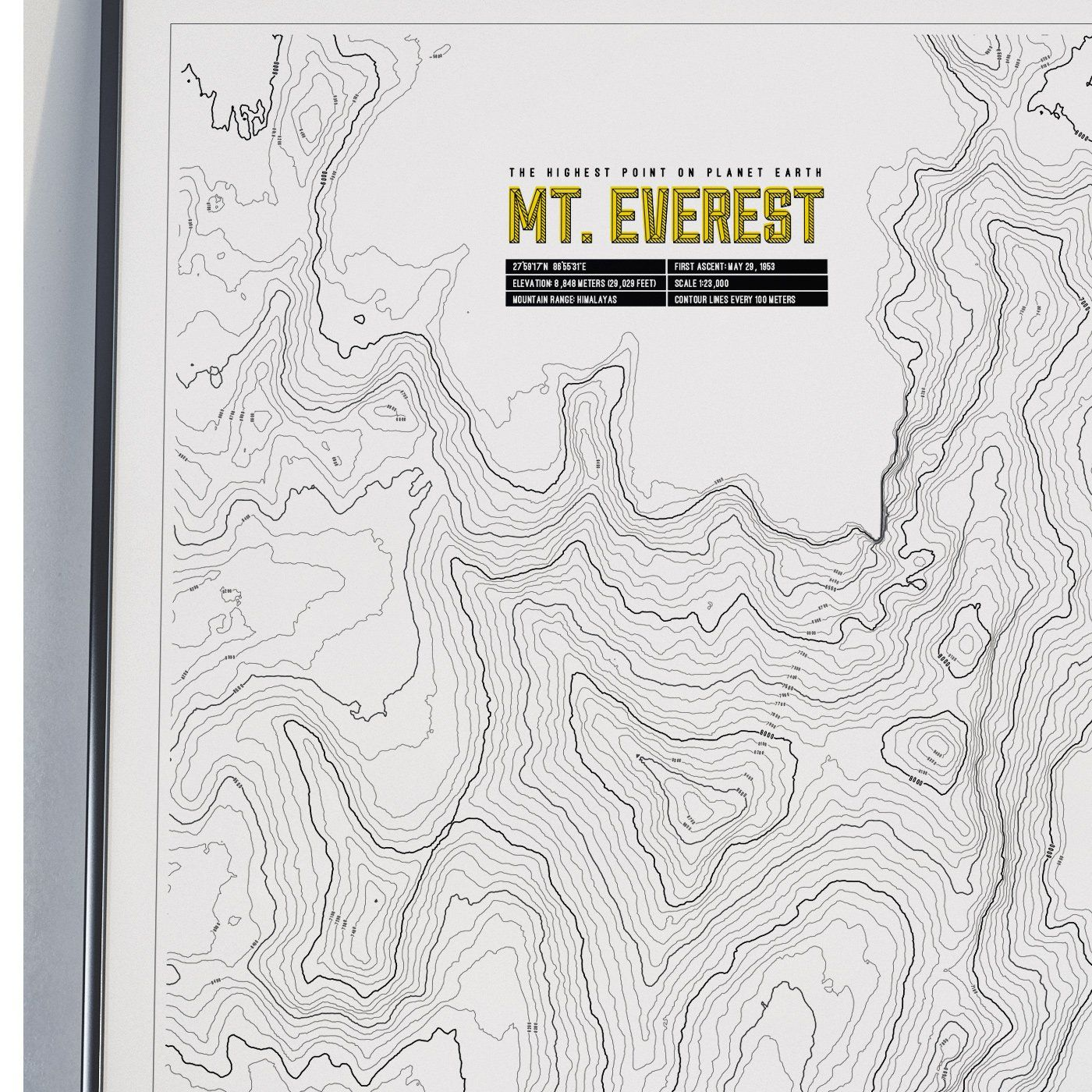
It’s a rice paddy.
The scale difference between the two is hilarious.
Notice they never said what the rock that was quarried was used for.
Because nothing comes to mind with the vast amount of rock that would have been removed for it to be an actual quarry that looked like that.
I just had the mental image of a scaled up front end loader about the size of Rhode Island pushing an ungodly amount of material around. So thanks for that
There’s a better theory about the Black Sea… it was once a freshwater lake that got flooded by the Mediterranean thousands of years ago.
That massive flood was the origin of the Noah and Gilgamesh stories.
https://en.m.wikipedia.org/wiki/Black_Sea_deluge_hypothesis
The guy who found the Titanic did underwater explorations and found the remains of the original coastline and human habitation 1,000 feet underwater:
The problem with the claim that it was the origin of the Noah and Gilgamesh stories are:
a) It happened thousands of years before
and
b) Civilizations tend to build around bodies of water. Bodies of water can flood, sometimes catastrophically.
You really don’t need more of an explanation for flood stories than “most ancient people lived near places that could flood.”
Doggerland was also flooded and there’s also lots of evidence of people before that flood.
Obviously a quarry. How else could you explain the huge depth markers visible in the top photograph?
This is idiotic. It was clearly done by aliens.

